

Bike trailFort Erie, ON
Editor'spick
Niagara River Recreation Trail
Fort Erie, ON
Spring to fall
53 km paved riverside trail from Fort Erie past the Falls to Niagara-on-the-Lake
Editor's pick
A place we recommend that isn't on a published list yet.
Where
350 Lakeshore Road, Fort Erie, ON L2A 1B5
How to get there
Nearest airports
- YTZ
Billy Bishop Toronto City Airport
127 km · just over 1.5 hours to Niagara Falls source ↗
- Porter
- Air Canada
Shuttles, ferries and seaplanes
- Air Canada's motorcoach from Toronto Pearson to Niagara District Airport and the Marriott on the Falls, three round trips a day.source ↗
Typical fares
- Air Canada · Vancouver to Toronto (YTO)Fares from $217 seen on Oct 31, 2026 · one-wayairline ↗
- Air Canada · Calgary to Toronto (YTO)Fares from $208 seen on Oct 31, 2026 · one-wayairline ↗
- WestJet · Vancouver to Toronto (YTO)Fares from $190 seen on Oct 31, 2026 · one-wayairline ↗
Fares change daily; check the airline.
Eat & drink nearby





Outdoors nearby
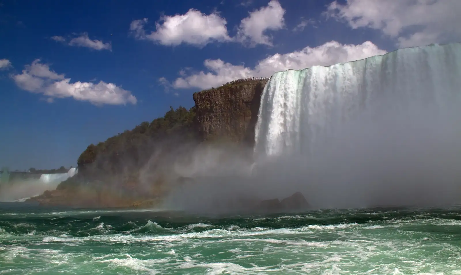 Niagara FallsNatural wonder · Niagara Falls, ON24 kmPhoto: Tony Hisgett from Birmingham, UK · CC BY 2.0