
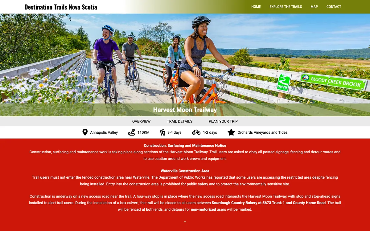
Harvest Moon TrailwayBike trail · Grand Pré, NS0.8 kmWebsite preview: destinationtrailsnovascotia.com
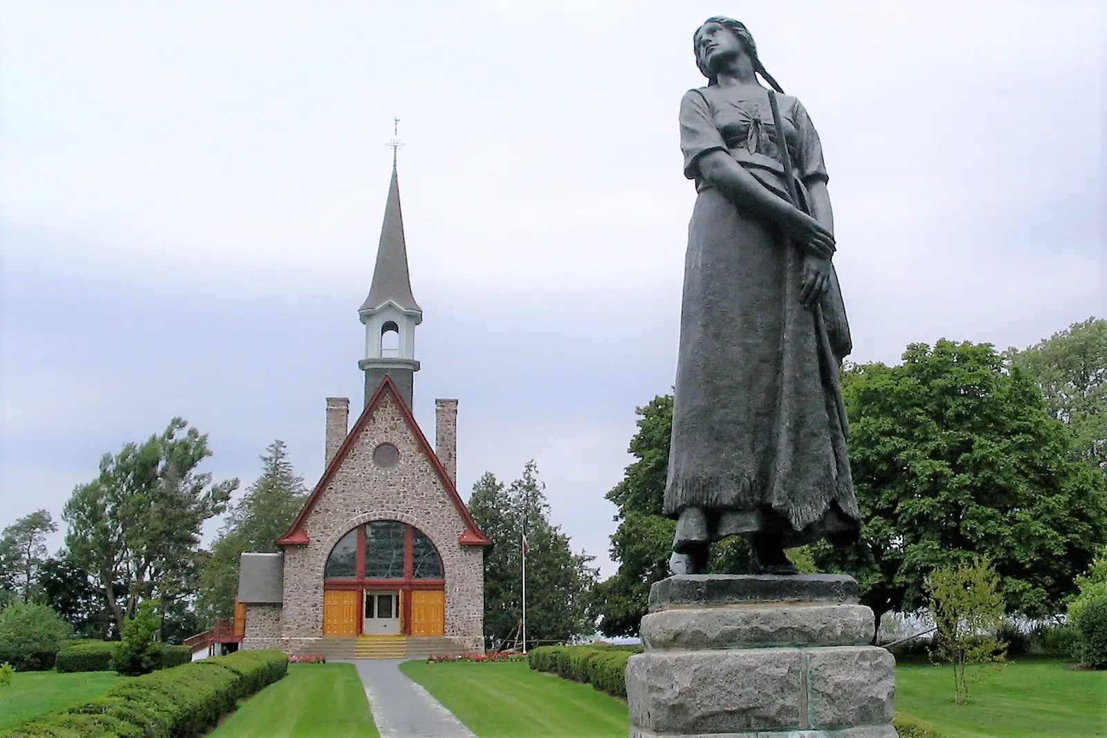
Cultural landscape · Grand-Pré, NS
Acadian farmland won from the sea with dykes in the 1600s, and the place that remembers the Acadian deportation.
The Landscape of Grand Pré covers about 1,300 hectares of farm fields, marshes and dykelands in Nova Scotia's Annapolis Valley. Acadian settlers arrived in the 1680s and, against very high tides, built a system of dykes that Parks Canada calls a technological zenith for hundreds of years; English, Scottish and Dutch settlers later expanded and maintained it into the mid-20th century. Cape Blomidon, tied in Mi'kmaw tradition to Kluscap, frames the view. UNESCO inscribed the landscape in 2012 as Canada's 16th World Heritage Site, and the View Park on Old Post Road is the main lookout.
Grand-Pré National Historic Site, on the unceded territory of the Mi'kmaq, is the gateway to the landscape and a monument to Acadian culture and to the deportation of the Acadian people. A multimedia presentation and displays tell the story, and Parks Canada interpreters lead tours that include the century-old Memorial Church, with the Evangeline statue before it. There is also a Victorian garden, and the 110 km Harvest Moon trail links Grand-Pré to Annapolis Royal for walkers and cyclists. In 2026 the site opened from May 15 to October 12, 9 a.m. to 5 p.m.
Grand-Pré National Historic Site, 2205 Grand-Pré Road, Grand-Pré, NS B0P 1M0